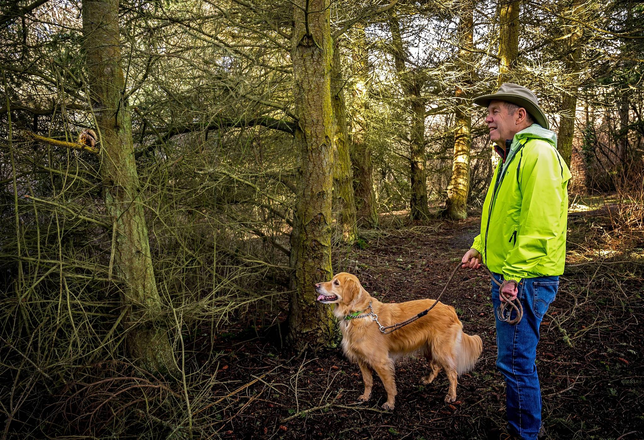
Whidbey Island residents looking for outdoor recreation minus the crowds of tourists might consider visiting one of the island’s lesser-known trails.
Local land experts are willing to divulge some of their favorite “hidden gems” on Whidbey.
On the North End, Whidbey Camano Land Trust Executive Director Patricia Powell suggested hikers check out the Beach View Trail, which lead from Oak Harbor’s western boundary to the Strait of Juan de Fuca.
The trail passes through the northern portion of a historic working farm protected by the Land Trust. Hikers on this trail can see the farm fields and animals, the nearby wetland and the Olympic Mountains during the approximately 1.5-mile hike, which ends on a public beach. The western trailhead is located at 2407 West Beach Road, and the eastern trailhead can be found at 1411 Wieldraayer Road.
Powell also recommended the Del Fairfax Preserve in southwestern Oak Harbor, a shorter trail that leads from a wooded area to a pastoral field, which some locals refer to as the “magic meadow.” This trail allows leashed dogs and is a good hike for kids and older residents. The trailhead begins at 1817 Zylstra Road.
Tabitha Jacobs-Mangiafico, Whidbey coordinator for Sound Water Stewards, suggested visiting the Pacific Rim Institute for Environmental Stewardship on Parker Road in Coupeville. The area has more than two miles of trails open to walkers and leashed pets, as well as natural prairies resplendent with indigenous flora.
The institute also hosts events and educational opportunities.
Also in Coupeville is the Admiralty Inlet Preserve, which boasts more than 86 acres of old-growth forests, rare prairie remnants and blufftop views. Jacobs-Mangiafico said the trails here are easy hikes for beginners. The preserve is located on South Engle Road on the west coast.
Between Greenbank and Freeland lies the Trillium Community Forest, over 720 acres of forest with about nine miles of hiking trails. These trails are friendly to hikers, mountain bikers and horseback riders, and visitors may also bring their dogs on a leash.
There are three forest trail entrances with parking lots. One can be found on Pacific Dogwood Drive. A gravel road off of Pacific Dogwood leads to the parking area and trailheads. Another parking area can be found at the corner of North Bounty Road and Bounty Loop, where signs are posted leading to the parking lot. The final parking area is located on Smugglers Cove Road between Bald Eagle Way and Rhodie Lane.
Powell also suggested island residents visit the Waterman Shoreline Preserve, an accessible paved trail for biking and walking between Langley and Clinton. This trail features views of Possession Sound, and trailhead parking can be found at the curve where Wilkinson Road turns into Bob Galbreath Road.
One new trail that just opened south of Clinton is Possession Sound Preserve. The trail leads to a half mile of beach that has only just been opened to the public. The trail leads down a rather steep bluff, but Powell said the walk down and back up the trail is still pretty easy. Visitors can find the ample parking lot and trailhead on Humphrey Road, about two miles south of Highway 525.
Beautiful as it is, Whidbey Island’s nature is good for more than just recreation.
“The nature and the hiking’s great, but the other thing that these natural areas, these protected areas do is they help mitigate climate change that’s happening here on the island,” Powell said.
Natural areas store carbon, keep drinking water clean and provide habitats for wildlife. The island’s natural beauty also benefits the local economy by bringing people to Whidbey to live and work or visit as tourists.
“It’s so beautiful, and it doesn’t stay this way without making sure you’re protecting the best of it for future generations,” Powell said.
Whidbey Island residents and visitors can find more trails and shoreline areas in “Getting to the Water’s Edge,” a guidebook from Sound Water Stewards.


